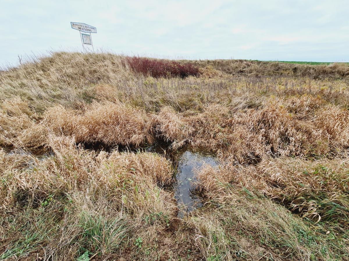
Botanical Reserve of the Stream Kamatis Valley
This reserve has an area of 26 hectares.
The valley lies in the northern part of the district (it begins at the village of Žadeikoniai and finishes when the stream flows into the River Mūša). The most valuable part is 2.5 km of the Kamatis Lower’s riverbed and the valley, which is not wide – from 40 meters up to 80 m wide. The slopes are not tall – from 1.5 to 2.5 m height. On the slopes there grow very interesting plant communities: Geranio-Trifolietum alpestris, Brachypodium pinnatum, Trifolio Agrimonietum rimonietum, Aveno – Medicagetum falcatae. In the meadows of the valley slopes there dominate yellow alfalfa (Medicago lupulina), Betonica officinalis, Fragaria viridis, Helictotrichon pubescens and lesser timothy. In the River valley there breed some protected species of birds – corncrakes and quails. In1998, the territory was declared as a botanical reserve protected by the municipality. This reserve could have a hydrographical reserve status, because such small streams with natural beds are rare not only in Pasvalys area, but also throughout Lithuania, they are few.
