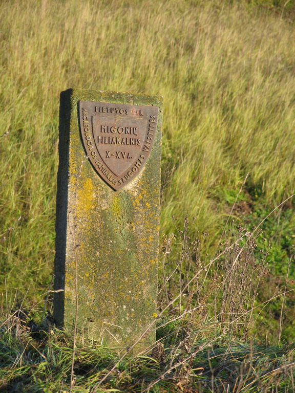
Migonys Mound
This mound is in the Pasvalys neighbourhoods’ eldership, Pasvalys district. When you travel from Pasvalys along the old Joniškėlis road, at Šimoniai village there is the Migonys mound. It is situated on the right bank of the River Mūša, at the confluence of the Stream Pušynė, 6 km from Pasvalys. The mound is steep, 7–10 m high; on a top there is a circular area 30 meters in diameter. The mound is surrounded from 1 to 3.5 m high and from 12 to 22 m wide rampart, its highest part is on the west side. Dating back to the thirteenth century, the mound was used as a defensive fortification guarding the ninth century’s Semigallian village, located there, from the enemies. It is also known as Šimoniai, Paberžiai or Sindriūnai mound. In the past it was called Gužučkalnis or Velniakalnis. The ancient artifacts, which are found in the surroundings, are kept in Lithuanian museums.
