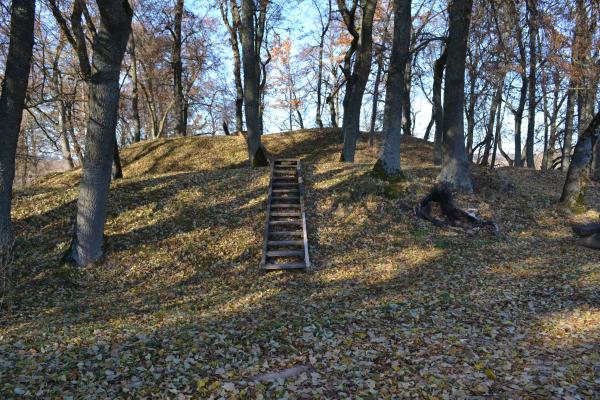
Ąžuolpamūšė Mound
This mound is located in the Saločiai eldership, Pasvalys district. When you drive the Via Baltica highway near Rauboniai village, on the right riverside of the River Mūša you can see the mound. It is at the confluence of the Streams Tatula and Ūgė, like a hill cape, the tip turned to the River Mūša. The site is rectangular, oriented towards east and west, with two ramparts on the east side. The northern and southern edges of the area and its western part were rinsed out. The slopes are steep: from 7m to 10 m. At the foot of the mound there is an ancient settlement: in its east and south- west areas rough pottery and kilned stones were found. The mound may have been inhabited between the ninth and the eleventh centuries. It is believed that there were wooden defensive walls. The buildings had stone stoves and the yard was paved with stones as well. This mound is also called Dabužiai.
