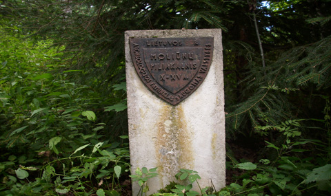
Krikliniai (Moliūnai) Mound
This mound is situated in the eldership Pumpėnai, Pasvalys district. It is at 1.05 km to north-east from Krikliniai, 0,95 km to the southeast from Pumpėnai–Smilgiai and Rinkūnai–Moliūnai crossroads. The mound is a part of Biržai SFE Krikliniai forest district (the middle part of the 27th block). It is surrounded by lowlands in the south, west and north. On the top of the hill there is a pretty regular rectangular area, from all sides surrounded by the double ramparts and two ditches between them. Correct and a little unusual shape suggests that this may be the fifteenth-sixteenth centuries fortifications. The Mound occupies an area of 0.83 ha. The mound is also known as the Royal Castle or Perkūninė (home of a pagan God Thunder).
