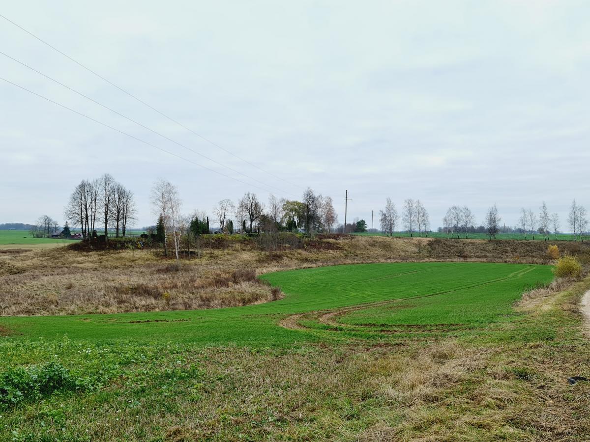
Saudogala Mound
This mound is situated in the Saločiai eldership, Pasvalys district. It is 2 km to the southwest from Saločiai and to the north from Saudogala village, on the left bank of the River Mūša, at the confluence of the River Mūša and the Stream Kamanta. In the west it is surrounded by the River Mūša, in the north and the east by the Stream Kamata. The slopes of the rivers’ valleys are steep, more than 10 m in height. In the south there was the highest point of the mound. In its outskirts an embankment was built, but it is extended, barely seen. The site is 85 meters long to the north-south direction. At its south end it is about 40 m wide, at the north – 7 meters. In the north part there is a rural cemetery. To the south of the mound there was found some pottery with lined surface and pieces of kilned clay.
