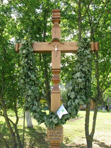
Monuments of the Baltic Way in a road section from the Latvian border to Panevėžys district
The Baltic Way is a chain of two million humans holding hands from Tallinn via Riga to Vilnius. On the 23rd August 1989 two million people from the Baltic States made this chain in the name of freedom. On the 15th July 1989, a Baltic Council meeting in Pärnu finally developed an idea to link the Estonian, Latvian, Lithuanian people in an "alive chain" – the Baltic Way. Citizen Fronts in Estonia, Latvia and Lithuanian Sajūdis (Reform Movement in Lithuania) appealed to the nations inviting to participate actively in the Baltic Way and express the Baltic States independence aspirations. On the 12th August 1989, in the town of Cėsiai (Latvia) the Baltic Council signed a document entitled "Baltic Way". In Lithuania, the Baltic Way was divided into 50 road sections (to mark 50 years of captivity and suffering). The limits of the Pasvalys district were the Pasvalys–Panevėžys districts intersection and the Lithuanian–Latvian border. The length was from 344 to 391 kilometers and there were the representatives from Biržai, Joniškis, Pakruojis, Mažeikiai, Akmenė, Skuodas, Neringa, Palanga, Kretinga, Klaipėda, Pasvalys, Radviliškis, Kelmė, Plunge, Šilalė, Tauragė, Šilutė and Šiauliai. The road section of Pasvalys is marked by the crosses from Biržai, Joniškis, Pakruojis, Klaipėda, Radviliškis, Akmenė and Šiauliai. The people of these districts built their crosses to witness the road of freedom- the Baltic Way, which became a part of the UNESCO program "Memory of the World".
